Google is integrating new datasets for Google Maps Platform and Earth Engine into BigQuery so cities can easily access them.
In a major step towards smart city development and data-driven decision-making, Google has announced a significant expansion of its Google Maps Platform (GMP) capabilities. The tech giant is now opening up access to previously untapped datasets—designed to empower city planners, developers, policymakers, and business leaders with deeper insights into infrastructure and traffic patterns.
The announcement, made on Wednesday, marks a notable shift in how Google Maps data can be used: for the first time, these insights will be integrated directly into BigQuery, Google’s fully-managed data analytics platform. This move is set to dramatically streamline access to geospatial data, allowing users to run complex queries and analysis at scale without the need for specialized GIS (Geographic Information System) tools.
Turning Maps Into Meaningful Intelligence
The expanded Google Maps Platform will now offer enhanced access to three key datasets:
- Imagery Insights
- Roads Management Insights
- Places Insights
Each of these provides unique, high-value information that can help cities and organizations address a range of urban planning, sustainability, and service delivery challenges.
1. Imagery Insights: Smarter Infrastructure Monitoring
With Imagery Insights, users can access rich visual data derived from satellite and aerial imagery. This dataset enables organizations—particularly in the telecom and utility sectors—to monitor the condition of physical infrastructure such as:
- Utility poles
- Street signs
- Rooftop conditions
- Roadside vegetation
By leveraging AI-powered image analysis, companies can detect early signs of wear and tear, plan maintenance more efficiently, and reduce the risk of outages or safety hazards.
2. Roads Management Insights: Reimagining Traffic Planning
Managing traffic congestion and road infrastructure is a challenge for cities across the globe. Roads Management Insights offers both historical and real-time traffic data, helping traffic authorities and urban planners identify congestion hotspots, monitor traffic flow, and plan road improvements or signal optimizations more effectively.
With access to this data through BigQuery, decision-makers can now perform scalable analysis of traffic patterns over time, supporting smarter transportation strategies and reducing commuting times for residents.
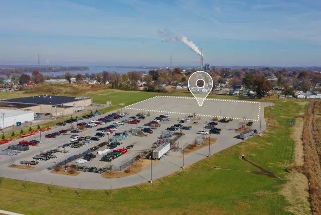
3. Places Insights: Understanding Local Environments
Places Insights delivers aggregated, anonymized data about businesses, services, and public places in any given area. This includes crucial attributes such as:
- Business type and popularity
- User ratings
- Accessibility (e.g., wheelchair accessible entrances)
- Operating hours and peak times
Such data can be a goldmine for real estate developers, retail strategists, and government agencies trying to understand community needs or optimize public service delivery. For instance, it could help a city identify underserved neighborhoods or assist an entrepreneur in choosing the perfect location for a new café.
Sustainability Insights via Earth Engine
In addition to the above, Google is also making Earth Engine datasets available through BigQuery, significantly enhancing access to sustainability-related data. This includes satellite-derived information that can help researchers and governments track:
- Deforestation and reforestation progress
- Wildfire risks and impact areas
- Water level changes
- Urban sprawl and heat island effects
With climate change becoming a central concern globally, access to this kind of environmental data can drive better policy and faster responses to emerging ecological threats.
Empowering the Future of Smart Cities
By opening up its Maps data and integrating it into BigQuery, Google is essentially turning its mapping platform into a powerful analytical engine. The move is not just about visual navigation anymore—it’s about building smarter, safer, and more sustainable cities using data intelligence.
Whether it’s optimizing traffic flows, enhancing public infrastructure, targeting economic investments, or tracking environmental changes, these new tools are poised to make a real impact.
As more organizations tap into Google Maps’ expanded datasets, we can expect to see a new wave of innovation in urban planning, logistics, environmental research, and community development. With location data now easier to query and analyze than ever before, the potential applications are virtually limitless.
Final Thoughts
Google’s integration of its Maps Platform with BigQuery isn’t just a technical upgrade—it’s a strategic move that signals the growing importance of geospatial intelligence in solving the world’s biggest challenges. As cities become smarter and the demand for data-driven planning increases, tools like these will be essential in shaping the future.
Stay tuned for further updates as developers and decision-makers begin to unlock the full potential of this powerful platform.


